
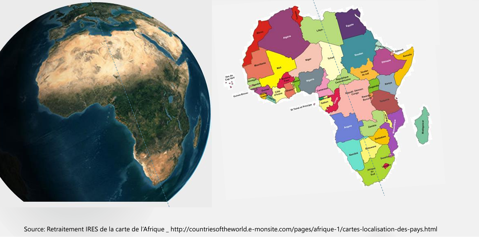
The size of the Sahara has varied significantly over time, primarily due to climatic conditions. By the end of the glacial period around 8500 BCE, the Sahara had once again become a green and fertile land. Rock paintings in the Tassili n’Ajjer, dating back to around 8000 BCE, depict a fertile and densely populated Sahara. Later, the warming and drying of the climate around 5000 BCE caused the Sahara to become increasingly hot and inhospitable. By around 3900 BCE, the Sahara underwent a period of desertification. A significant climatic recession occurred, leading to reduced rainfall in East and Central Africa. Since then, dry conditions have predominated in East Africa. The Sahara became a “climatic hiatus that plays a crucial role in the geographical partitioning of much of Africa.” This reduced the amount of land suitable for settlement and prompted migrations of agricultural communities to the more tropical climates of West Africa and the Nile Valley below the Second Cataract, where permanent or semi-permanent settlements were established. This migration facilitated the emergence of complex and highly organized societies during the 4th millennium BCE, as evidenced by the site of Nabta Playa. This climatic hiatus acted as a barrier to north-south movement; Pierre Gourou referred to it as an “isolating hiatus.” The Nile Valley became the primary corridor for movement, and Egypt followed a distinct developmental path from the rest of Africa.
The domestication of cattle in Africa predates agriculture and coexisted with hunter-gatherer cultures; thus, cattle were domesticated as early as 7500 to 6000 BCE in North Africa. In the Nilo-Saharan region, many animals were domesticated, including the donkey.
Agriculture emerged through a complex and multipolar process around 6000 BCE. Initially, Egypt adopted plants from Southwest Asia; later, around 2000 BCE, indigenous agriculture developed with the domestication of millet, African rice, yams, and sorghum.
Notable political entities were established even before the historical period.
For example, the site of Nabta Playa, west of the Nile in the Nubian Desert, was inhabited, albeit seasonally, from the 9th millennium BCE to the 1st millennium BCE. The basin where it is located was much more watered and fertile at that time. The site includes a significant megalithic field with astronomical purposes, dated to 6000–6500 BCE. The populations, who practiced herding, exhibited signs of a highly organized society, more advanced than that of Egypt at the same time. Examples include stone constructions above and below ground, villages built according to pre-established plans, and deep wells capable of retaining water year-round, as well as the astronomical knowledge necessary for erecting megaliths.
A little later, contemporary with Nabta Playa between 3800 and 3000 BCE, the Naqada culture (Egyptian predynastic period) saw the emergence of the first hieroglyphs in Abydos. The Abydos tablets attest to the existence of a political organization in the form of a kingdom; they mention King Scorpion I, who is believed to have ruled around 3200 BCE over all of Egypt and possibly beyond.
For more information :
- https://fr.wikipedia.org/wiki/Portail:Afrique
- https://en.wikipedia.org/wiki/Africa
- https://africacenter.org/
- https://journals.openedition.org/etudesafricaines/
- https://etudes-africaines.cnrs.fr/
- https://journals.openedition.org/etudesafricaines/
- https://www.afdb.org/fr/documents-publications/economic-perspectives-en-afrique-2024